BMI 625 Lab 8: Maps
The eighth lab of BMI 625 focuses on visualization of geospatial data. There is a park that I sometimes like to run around on the east side of Portland, so I chose to examine the radius of tree coverage there. Where should I run on a hot sunny day to get some shade?
1
2
3
4
5
6
7
8
|
## Reading layer `Neighborhoods__Regions_' from data source
##   `/Users/ericcramer/Library/CloudStorage/OneDrive-Personal/Desktop/OHSU/Graduate/Classes/BMI 625 Data Visualization/Portfolio/portfolio/content/post/2023-05-31-bmi-625-maps-lab-8/data/Neighborhoods__Regions_-shp'
##   using driver `ESRI Shapefile'
## Simple feature collection with 98 features and 10 fields
## Geometry type: MULTIPOLYGON
## Dimension:     XY
## Bounding box:  xmin: -13677560 ymin: 5689875 xmax: -13632920 ymax: 5724919
## Projected CRS: WGS 84 / Pseudo-Mercator
|
1
2
3
4
5
6
7
8
|
## Reading layer `Willamette_Columbia_River_Ordinary_High_Water' from data source
##   `/Users/ericcramer/Library/CloudStorage/OneDrive-Personal/Desktop/OHSU/Graduate/Classes/BMI 625 Data Visualization/Portfolio/portfolio/content/post/2023-05-31-bmi-625-maps-lab-8/data/Willamette_Columbia_River_Ordinary_High_Water-shp'
##   using driver `ESRI Shapefile'
## Simple feature collection with 1 feature and 5 fields
## Geometry type: MULTIPOLYGON
## Dimension:     XY
## Bounding box:  xmin: -13676470 ymin: 5686111 xmax: -13632810 ymax: 5727803
## Projected CRS: WGS 84 / Pseudo-Mercator
|
1
2
3
4
5
6
7
|
## Reading layer `fd3ad191-4bf0-4577-b6ec-724baeb619792020413-1-a3eocm.isio' from data source `/Users/ericcramer/Library/CloudStorage/OneDrive-Personal/Desktop/OHSU/Graduate/Classes/BMI 625 Data Visualization/Portfolio/portfolio/content/post/2023-05-31-bmi-625-maps-lab-8/data/Parks_Tree_Inventory-shp'
##   using driver `ESRI Shapefile'
## Simple feature collection with 25534 features and 39 fields
## Geometry type: POINT
## Dimension:     XY
## Bounding box:  xmin: -13667450 ymin: 5692149 xmax: -13635010 ymax: 5724486
## Projected CRS: WGS 84 / Pseudo-Mercator
|
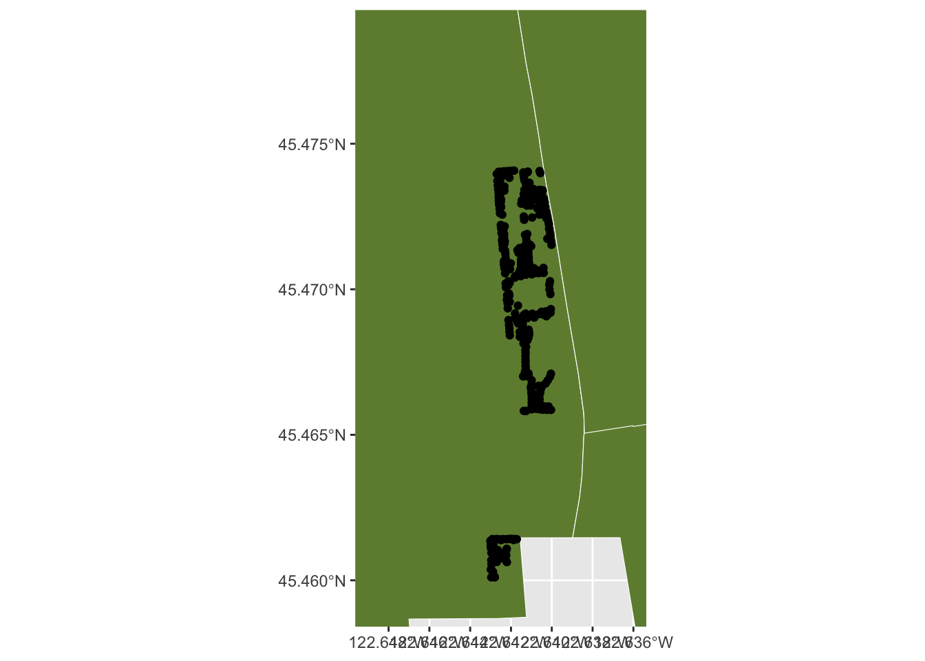
Below is a rough draft. It shows the park as a cluster of trees (black dots). Simple, but not very informative.
I chose to use Open Street Map tiles to replace the background with real-world information (instead of bland green). I also encoded the width of tree canopies with a color-scale.
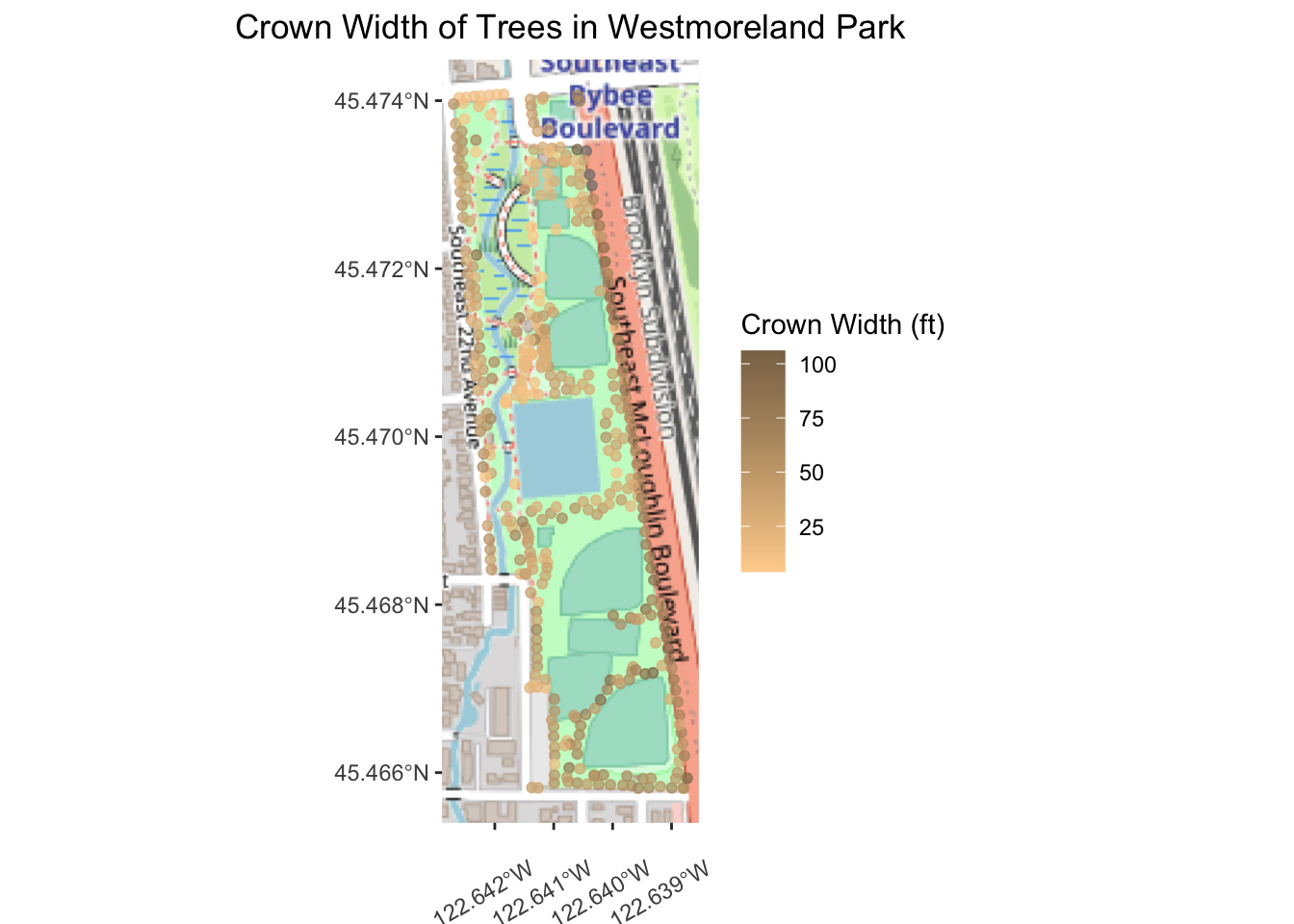
It appears that trees with wider canopies line the side of the park along McLaughlin Blvd as opposed to within the park itself. Maybe I’ll run along that side of the park when it is hot out!